A Chilly, Cloudy Dig-Out for Charm City
A Chilly, Cloudy Dig-Out for Charm City
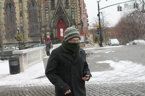
As Baltimore enters Tuesday, February 24, 2026, the city finds itself in the quiet, cloudy aftermath of a significant winter nor'easter that blanketed the region over the weekend. While the heaviest precipitation has moved out, the weather remains biting and the landscape is still buried under several inches of fresh snow. Today's forecast suggests a day of recovery rather than a return to warmth, with gray skies dominating the skyline throughout the day.
Morning: A Brisk Start Under Gray Skies
Commuters heading out this morning will encounter temperatures hovering around 28°F. However, the real story for early travelers is the wind chill; current conditions make it feel like a much sharper 16°F. Cloud cover is expected to be persistent throughout the morning hours. While the sun may attempt a few brief appearances through the overcast layer, the overall atmosphere will remain somber. With humidity at approximately 68%, the air feels damp and heavy, a common lingering effect in the wake of a major coastal storm system.
Afternoon: Reaching the Peak Cold
By the afternoon, Baltimore will reach its maximum temperature for the day, which is forecasted to be a modest 35°F. Although this reaches slightly above the freezing mark, it won't be enough to cause significant melting of the 4 inches of snow reported in Baltimore City or the 5.1 inches recorded in parts of the county like Long Green. Residents should be wary of slushy patches on secondary roads that may have been missed by initial plowing efforts. The chance of any new precipitation during the daylight hours remains low at just 10%, allowing public works crews to continue clearing primary routes.
Evening and Overnight: The Chill Returns
As the sun sets, temperatures will begin their steady descent toward an overnight low of 25°F. The clouds will thicken further, and the probability of light snow flurries increases to about 25% after dark. While no significant accumulation is expected tonight, the combination of dropping temperatures and lingering moisture on the ground could lead to the formation of "black ice" on sidewalks, ramps, and bridges. The humidity will settle around 55% as the city prepares for another sub-freezing night.
Warnings and Safety Information
Following the State of Emergency declared for the recent winter storm impacts, local authorities continue to urge caution as slippery road conditions persist across Maryland. To support vulnerable residents during this period of extreme cold, Baltimore County has activated freezing weather shelter locations through Thursday, February 26. These active centers include:
- Eastern Family Resource Center in Rosedale
- Hannah More Family Shelter in Reisterstown
- Westside Men's Shelter in Catonsville
- Woodlawn Recreation Center in Gwynn Oak
Residents are encouraged to check on elderly neighbors and ensure that all pets are kept indoors, as wind chills will remain in the teens throughout the night.