Baltimore tracks another possible snow event January 31–February 1 after late-January storm and deep freeze
What the forecast shows heading into next weekend
Baltimore is entering another weather-watch period for Saturday, Jan. 31, and Sunday, Feb. 1, 2026, as early forecast guidance signals the potential for a new winter storm to develop along the East Coast. At this lead time, the most consistent message is uncertainty: computer models disagree on storm track and precipitation type, and small shifts could mean anything from a miss to accumulating snow or a mixed winter event.
One near-term factor is not in doubt: the region is locked in a prolonged stretch of subfreezing temperatures through at least Monday, Feb. 2. That sustained cold keeps existing snow and ice from melting and increases the risk of icy travel if any new precipitation arrives.
Why the next storm signal is difficult to pin down
Forecast confidence for a system five to six days away depends heavily on storm track. A coastal route that stays offshore would tend to favor snow for parts of Maryland, while a farther-inland path raises the odds of sleet, freezing rain, or rain mixing in—especially closer to the Interstate 95 corridor. A farther-south track could keep the primary impacts out of central Maryland.
Early probabilistic outlooks currently point to a modest chance of measurable snow in the Baltimore area, but they also show a wide range of outcomes. Forecasters typically narrow timing and totals as the window shrinks and the storm’s track becomes clearer.
Context: Baltimore just recorded its biggest snow in years
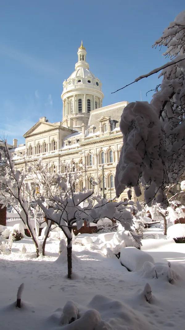
The renewed attention comes days after a high-impact storm ended Monday, Jan. 26, following heavy snow that began late Saturday night, Jan. 24, intensified Sunday morning, Jan. 25, and then mixed with sleet and freezing rain as colder air remained entrenched. Baltimore City measured 8.6 inches of snow, and Baltimore/Washington International Thurgood Marshall Airport recorded 11.3 inches—its highest snowfall total since 2016.
With temperatures remaining below freezing for an extended period, compacted snow and residual ice can persist on side streets and shaded areas even after main roads improve, complicating travel and cleanup if another storm arrives.
What residents should watch between now and the weekend
Track shifts in the storm’s projected path: offshore, inland, or south.
Monitor precipitation type forecasts, particularly the potential for sleet or freezing rain.
Plan for continued cold, which can refreeze meltwater and keep sidewalks and parking lots slick.
Expect forecast updates to change as new model runs and observations refine the setup.
For next weekend’s window, the most reliable takeaway is that Baltimore remains in an extended freeze and the storm scenario is still evolving.