Charm City Under a Blanket of White: Snow Closures and Freezing Temps Grip Baltimore
Commute Caution: Snow Tapers Off After Morning Winter Blast
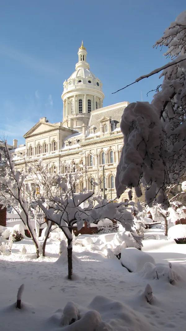
Baltimore residents woke up to a blanket of white this Monday, February 23, 2026, as a major winter storm continues its trek across the Mid-Atlantic region. The National Weather Service has maintained a Winter Weather Advisory for the city and surrounding jurisdictions, which is slated to remain in effect until 10:00 AM. While the heaviest accumulation occurred overnight, the early morning hours are proving difficult for those attempting to navigate Charm City’s thoroughfares, with slushy roads and reduced visibility being reported across the metro area.
Morning Outlook: Snow and School Closures
The timing of the storm has prompted widespread disruptions to the Monday morning schedule. Snow is expected to be most persistent before 11:00 AM, with forecasters predicting an additional inch of accumulation on top of the several inches already on the ground from Sunday. Consequently, several major school systems have adjusted their operations to ensure student safety:
- Baltimore City Public Schools: Buildings are closed today; however, students are expected to participate in virtual learning.
- Baltimore County Public Schools: All physical campuses are closed, shifting to a remote learning format for the day.
- Anne Arundel County Public Schools: Similar to neighboring districts, schools are closed with a transition to virtual instruction.
Temperature Trends and Wind Chills
Temperature-wise, the city is experiencing a biting cold typical of late February. While the mercury is currently sitting near 32°F, the wind-chill factor is the real story this morning. North-northwest winds sustained at 15 to 25 mph are creating "feels like" temperatures in the low 20s. Residents heading out to shovel or clear their vehicles should take precautions against the wind, which is expected to remain gusty through the early afternoon. Humidity levels remain high, near 85%, adding a damp and heavy quality to the winter air.
Afternoon Clearing and Evening Freeze
As the winter system pushes toward the Atlantic, Baltimore will see a gradual transition in sky conditions. The snow is anticipated to taper off by midday, leaving behind cloudy skies for the remainder of the afternoon. A high temperature of approximately 40°F is forecast, which should provide a much-needed window for salt trucks and plows to clear primary and secondary routes. However, this daytime melting may be short-lived.
As night falls, the clouds will begin to break, but temperatures will plummet to a low of 25°F. This freeze-up is a primary concern for the Tuesday morning commute, as any lingering slush or wet patches are likely to turn into black ice. Governor Wes Moore has declared a State of Emergency, urging Marylanders to remain off the roads if possible. For those who must travel, emergency officials stress the importance of slow speeds and increased following distances to ensure safety during this significant winter event.