Chilly Skies and Late Night Flurries: Baltimore Braces for a Mid-Winter Deep Freeze
A Cold Start to the Morning
Baltimore residents waking up this Tuesday, February 3, 2026, will feel the full weight of winter as an arctic influence remains settled over the Mid-Atlantic. Early morning temperatures are hovering in the low 20s, with some suburban areas reporting lows as sharp as 17 degrees Fahrenheit. Skies are currently mostly cloudy, and a light breeze from the west is making the outdoors feel significantly colder, with wind chills dipping into the low teens. For those heading out to commute or walk the dog, heavy winter coats, gloves, and hats are essential to combat the biting morning air.
Afternoon Outlook: A Brief Moderation
As we move into the afternoon, the National Weather Service indicates that temperatures will moderate slightly compared to the record-breaking cold of the previous weekend. We are expecting a daytime high of approximately 35 to 37 degrees Fahrenheit. While this remains below the seasonal average for early February, the cloud cover may break occasionally to allow for brief intervals of sunshine. Despite the marginal rise in the mercury, the air will remain crisp and dry. Local humidity levels are expected to sit around 60%, and while no significant precipitation is forecasted during the daylight hours, the overcast sky will serve as a reminder of the winter systems currently tracking across the Northern Plains.
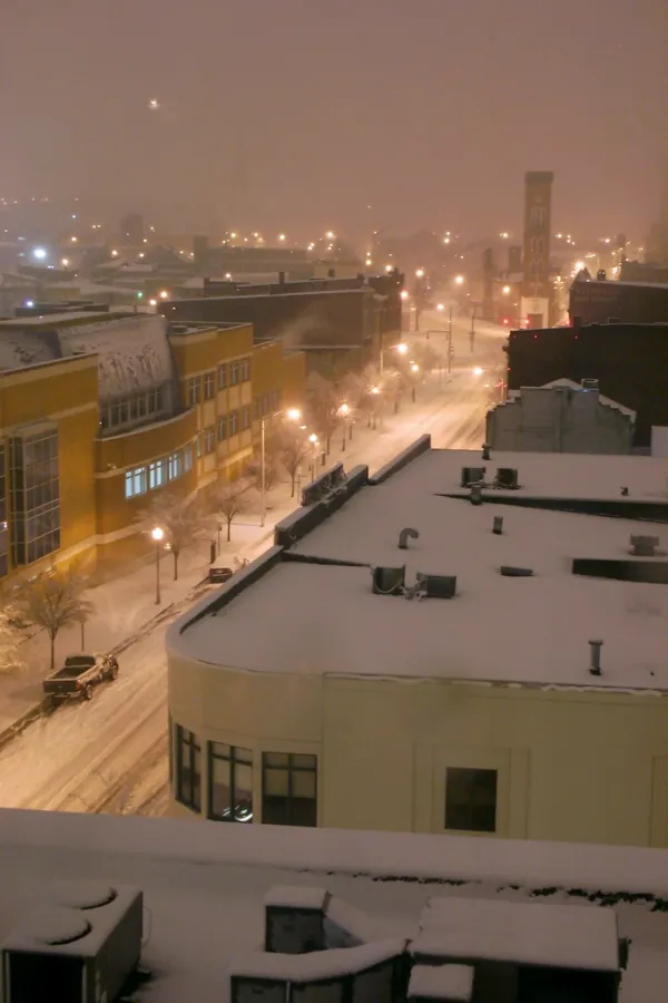
Evening Chill and Potential Snow Showers
The evening hours will see temperatures retreat back toward the mid-20s. By late tonight, Baltimore will see an increase in moisture as a weak clipper system approaches from the Great Lakes. Meteorologists are tracking a 25% chance of light snow showers or flurries developing after midnight. While significant accumulation is not expected, a dusting is possible on elevated surfaces, which could lead to some slick spots on the roads for the Wednesday morning commute. The overnight low is projected to settle near 25 degrees Fahrenheit under cloudy skies.
Wind and Safety Advisories
Currently, there are no active heavy snow or high wind warnings for the city of Baltimore, though a "Moderate" hazard for heavy snow has been noted for the broader region. Local winds are expected to remain steady at 10 to 15 mph. Residents are advised to check on vulnerable neighbors and ensure pets are kept indoors during the overnight freeze. Looking ahead, a more significant arctic air mass is expected to arrive by Wednesday, which will reinforce these freezing conditions throughout the remainder of the week.