From Severe Storms to Snowy Spells: Baltimore Faces a Sharp Temperature Swing
A Dramatic Shift in the Atmosphere
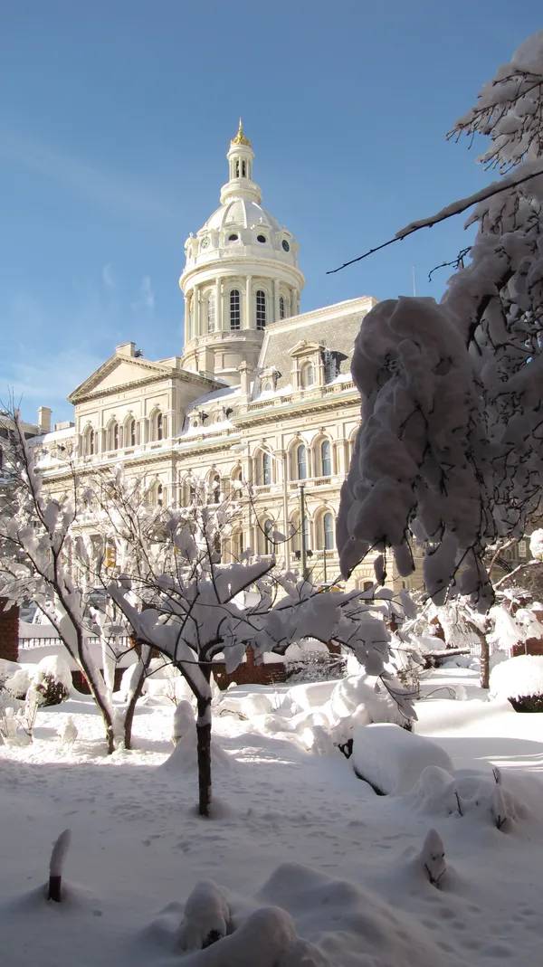
Baltimore residents are waking up to a vastly different landscape this Thursday, March 12, 2026. Following a turbulent Wednesday that saw a severe cold front bring threats of damaging winds and even isolated tornadoes across the region, the weather has taken a decidedly wintry turn. As predicted by local meteorologists, including Stevie Daniels of WMAR, the warm, unstable air from earlier in the week has been unceremoniously pushed out, replaced by a much colder and damp air mass that is currently settling over the Inner Harbor and surrounding counties.
Morning Forecast: A Slushy Commute Possible
The morning hours are expected to be the most active in terms of precipitation. Current predictions indicate a high probability of a rain and snow mix throughout the early part of the day. With temperatures hovering near the freezing mark of 31°F in the pre-dawn hours, commuters should be prepared for slick spots on the roads, particularly on bridges and overpasses. The humidity remains high at approximately 84%, contributing to a thick, misty atmosphere. While significant accumulation is unlikely given the ground temperatures from previous days, a 70% chance of snow remains in the forecast through the late morning, which may result in a slushy coating on grassy surfaces.
Afternoon Outlook: Chilly Temps and Continued Showers
By the afternoon, the precipitation is expected to transition primarily to scattered showers as the temperature reaches its projected high of 51°F. Despite the slight rise in the mercury, the air will feel significantly colder than yesterday due to a persistent breeze trailing the cold front. The clouds will remain heavy throughout the midday period, keeping the sun largely hidden. Residents attending evening events, such as the scheduled Brit Floyd concert or the Eidola tour stop in the city, should plan for a damp walk from the parking garage to the venue.
Evening and Night: The Big Chill Returns
As the sun sets, the precipitation is expected to taper off, leaving behind periodic clouds. However, the real story for the night will be the falling temperatures. The low for Thursday night is expected to dip back down to 31°F. This freeze could cause any standing water from the day’s rain and melted snow to refreeze, creating hazardous conditions for early Friday morning travelers. Wind speeds are expected to remain steady, adding a biting chill to the air for anyone out late in the city.
Safety and Preparedness
- Watch the Roads: After yesterday's severe storms, be alert for any lingering debris or localized flooding that could now be hiding under a layer of slush.
- Bundle Up: The shift from the high 70s earlier this week to the low 50s today is a shock to the system; ensure children are dressed in layers for school.
- Monitor Alerts: Keep an eye on local radar, as the timing of the transition from snow to rain can shift rapidly based on the movement of the cold air mass.