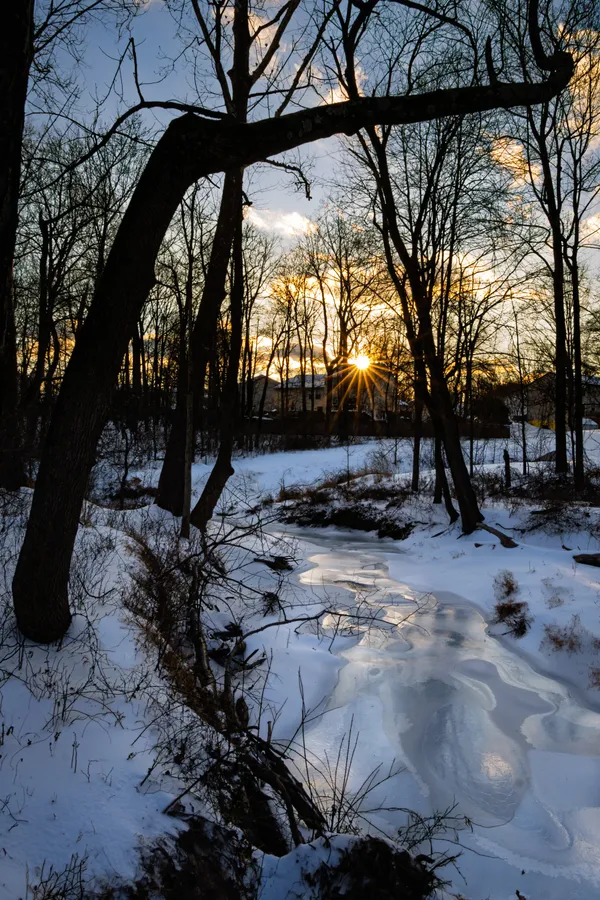
Maryland faces another cold stretch as light snow may coat roads Tuesday night into Wednesday

A minor snow event is possible after a brief thaw
Maryland is expected to see a short-lived break from the recent deep freeze on Tuesday, Feb. 3, 2026, before a weak weather system brings the possibility of light snow Tuesday night into early Wednesday. Forecasts point to limited accumulation for most of the state, but even small amounts could create slick travel conditions if temperatures dip below freezing as snow begins to fall.
Daytime highs Tuesday are forecast to rise into the mid-to-upper 30s across central Maryland, including the Baltimore region, before clouds increase later in the day. By Tuesday evening and overnight, light snow may spread from west to east, with precipitation likely ending before sunrise Wednesday, Feb. 4.
How much snow is expected, and where
Current projections indicate that most communities in central Maryland could see a trace to a light coating, with locally higher totals possible farther south of Baltimore and in parts of southern Maryland. Western Maryland, where colder air is more persistent and upslope effects can enhance snowfall, may also see additional minor accumulation.
- Central Maryland (including Baltimore area): trace to a light coating in many locations
- South of Baltimore and toward southern Maryland: potential for slightly higher totals, still generally light
- Higher elevations in western Maryland: light snow possible, with the greatest chance of measurable accumulation
Why a “light coating” can still disrupt the morning commute
Even minimal snowfall can become a travel problem when pavement temperatures remain below freezing. Snow falling onto cold or previously icy surfaces can reduce traction quickly, particularly on untreated neighborhood roads, bridges, overpasses, sidewalks, and parking lots. In addition, any snowfall that begins after sunset can coincide with a renewed drop in temperatures, limiting melting and increasing the likelihood of refreezing.
Light snow is expected to end before the Wednesday morning commute in many areas, but isolated slick spots may persist into the morning hours.
What to watch for through the rest of the week
Forecast guidance also signals continued chilly conditions for the region, with temperatures remaining below seasonal averages. Another opportunity for light snow later in the week remains on the horizon, though details on timing and accumulation remain uncertain at this stage.
Residents planning early Wednesday travel are advised to allow extra time, watch for rapidly changing road conditions overnight, and be alert for localized slick patches even if snow totals remain low.