Maryland Faces Dangerous Cold Tuesday as Forecasters Monitor Potential Weekend Winter Storm Tracks
Arctic air intensifies across Maryland into Tuesday night
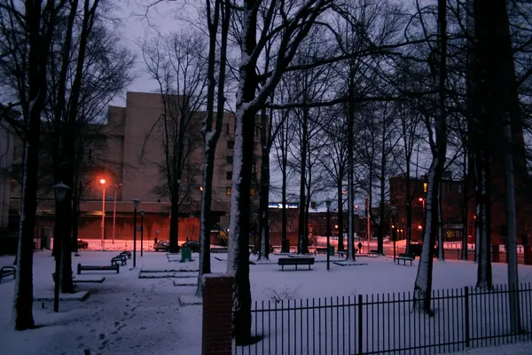
A surge of Arctic air is pushing into Maryland, bringing the region’s coldest stretch so far this season. Forecasts call for temperatures to fall sharply Monday night into Tuesday morning, with strong winds driving wind chills into the single digits and near-zero in some locations. Tuesday is expected to remain bitterly cold, with afternoon highs largely stuck in the 20s and nighttime lows falling back into the teens.
The National Weather Service forecast discussion for the Baltimore–Washington region described very cold conditions persisting through Tuesday night, with the potential for light snow showers or flurries near an approaching Arctic front. Any snow associated with the front is expected to be limited in accumulation but could still create slick spots because of the cold surfaces.
Baltimore activates Code Blue as wind chills approach critical thresholds
In Baltimore City, an extreme-cold response is in effect. The Baltimore City Health Department’s Code Blue Extreme Cold Alert is active from Monday night, Jan. 19, through Wednesday morning, Jan. 21. The city’s Code Blue framework is designed to reduce exposure-related illness and deaths during periods when temperatures and wind chill reach dangerous levels, particularly for people without reliable heat or shelter.
Code Blue can trigger expanded shelter access and coordinated services for vulnerable residents, including individuals experiencing homelessness, older adults, and people with chronic health conditions.
- Residents seeking shelter assistance in Baltimore can use the city’s designated shelter hotline and non-emergency help lines referenced in city guidance.
- Health officials advise limiting time outdoors, dressing in layers, and checking on neighbors who may be at higher risk from the cold.
Weekend winter storm potential increases, but uncertainty remains
Forecasters are also watching a developing system that could affect Maryland over the upcoming weekend. The regional forecast discussion noted that the broader weather pattern is becoming more favorable for wintry precipitation during that period, including the possibility of a significant winter storm. However, confidence in specific outcomes remains limited this far out.
The main forecast challenge is track and timing: a slight shift in the storm’s path could change precipitation type from snow to mixed precipitation or rain, while also affecting where the heaviest amounts fall. Cold air in place could support snow or ice, but moisture availability and storm structure will determine whether impacts are widespread or more localized.
Key factors being monitored include the storm’s track, the depth of cold air near the surface, and how quickly moisture reaches the region.
What Marylanders should watch for next
With dangerous cold peaking late Monday night through Tuesday and a potential winter-weather threat later in the week, residents and travelers should prepare for rapidly changing conditions. The near-term focus is cold exposure risk and localized slick spots, while the weekend forecast will likely sharpen as higher-confidence storm guidance becomes available over the next several days.