Maryland to See Late-Week Warm-Up After Arctic Cold, With Potential Winter Storm This Weekend
Cold start, then a brief rebound
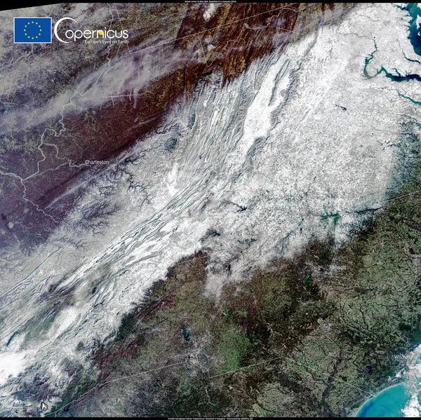
Maryland begins the week in a sharply colder air mass that is expected to hold through midweek, before temperatures trend higher late in the week. The shift follows light snow in parts of the region over the weekend and a renewed push of Arctic air that lowers overnight temperatures into the teens, with wind making conditions feel closer to 0 to 5 degrees in some locations early Tuesday.
Daytime highs are forecast to remain below normal into Wednesday, with sunshine limiting additional precipitation but not preventing hazardous refreezing on untreated or shaded surfaces. Road conditions can deteriorate overnight when daytime melting is followed by rapid temperature drops, a common setup for black ice during cold, dry stretches.
Late-week warm-up sets the stage for changing precipitation types
By Wednesday and Thursday, forecast temperatures across much of central Maryland are projected to climb, with afternoon readings reaching the 40s and, in some forecasts, approaching 50 degrees Thursday. That warm-up is expected to be short-lived, but it is significant because it can influence how any weekend precipitation falls and accumulates.
When temperatures hover near freezing, small changes in storm track and surface temperatures can flip outcomes between snow, sleet, freezing rain, or plain rain—often varying over short distances between higher elevations in western Maryland, the Interstate 95 corridor, and the Eastern Shore.
Weekend storm potential: track uncertainty remains the key factor
Forecast guidance indicates the next opportunity for accumulating snow may arrive over the weekend of January 24–25. Early outlooks point to a renewed push of cold air and the possibility of a storm system affecting the Mid-Atlantic. However, confidence in specifics remains limited at this lead time, with uncertainty centered on how far north moisture spreads and where the storm’s heaviest precipitation axis sets up.
For Maryland, the most consequential questions are whether the storm’s track favors a predominantly snow scenario, or whether temperatures near the surface rise enough to introduce mixed precipitation—an outcome that can increase travel disruptions even when snowfall totals are lower.
What residents should monitor through the week
Overnight lows and wind chills early in the week, especially for vulnerable populations and outdoor workers.
Refreezing potential each night where daytime sunshine creates partial melting.
Late-week temperature trends, which will shape precipitation type if a weekend system arrives.
Updates on storm timing and track as forecast confidence improves closer to the weekend.
With a late-week warm-up followed by a possible return to colder air, Maryland’s weekend impacts hinge on whether the next system arrives during the warm window or after temperatures fall back below freezing.