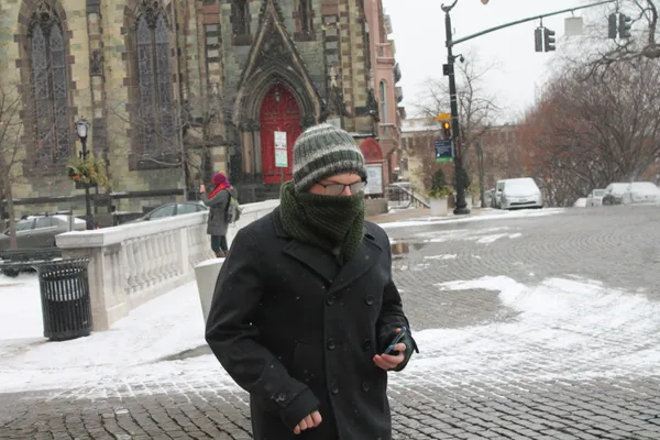
Slippery Starts and Bitter Bites: Baltimore Braces for a Frigid Wednesday

A Biting Chill Grips the Charm City
Good morning, Baltimore. If you are heading out the door this Wednesday, February 4, 2026, you will want to grab your heaviest coat and a reliable pair of gloves. Baltimore is currently locked in a stubborn winter chill that is defining the first week of February. While the sky may offer a few glimpses of relief later today, the primary story remains the persistent sub-freezing temperatures that continue to impact the region.
Morning: Cloudy Skies and Hazardous Patches
The early morning hours are starting with dense cloud cover and temperatures hovering in the mid-20s. Though the chance of active precipitation is low—estimated between 2% and 10%—the National Weather Service and local forecasters are issued a specific advisory for commuters: watch for slippery spots. Residual moisture from earlier in the week has likely frozen on the asphalt, creating dangerous icy patches on side streets, overpasses, and shaded walkways. With sunrise occurring at 7:10 AM, visibility will improve, but the biting cold will remain a constant companion for those waiting at transit stops or walking to work.
Afternoon: Sun Peeks Through the Frost
As we transition into the afternoon, the thick morning clouds are expected to break apart, giving way to periods of clouds and sunshine. However, do not let the bright sky deceive you. The projected high for today is a modest 34 degrees Fahrenheit, barely reaching above the freezing mark. Given the light northern breeze, the "RealFeel" temperature will likely remain in the 20s throughout the day. This brief window of sun is the best time to handle outdoor errands, but residents are encouraged to stay bundled up as the warmth will be minimal.
Evening and Overnight: The Deep Freeze Returns
Once the sun sets at approximately 5:30 PM, the temperature is expected to plummet rapidly. Under partly cloudy skies, the city will face a "bitterly cold" night with a projected low of 14 degrees Fahrenheit. This extreme drop is part of a larger cold weather pattern that has kept the region in a state of alert. The lack of cloud cover overnight will allow heat to escape the surface, leading to frigid conditions by dawn on Thursday. Experts recommend checking on neighbors and ensuring that all pets have been brought safely indoors as the mercury hits the mid-teens.
At a Glance: Wednesday’s Weather Summary
- High Temperature: 33°F - 34°F
- Low Temperature: 14°F - 19°F
- Conditions: Cloudy morning transitioning to sun and clouds; frigid night.
- Precipitation: Minimal (less than 10% chance of flurries).
- Safety Notice: Use caution on morning roads due to ice; prepare for extreme cold overnight.
Stay warm and stay safe, Baltimore. We will continue to monitor the local conditions as we look ahead to a potential return of light snow later this Friday.