Snow Emergency: Charm City Braces for Late-Day Nor'easter
A Calm Morning Before the Storm
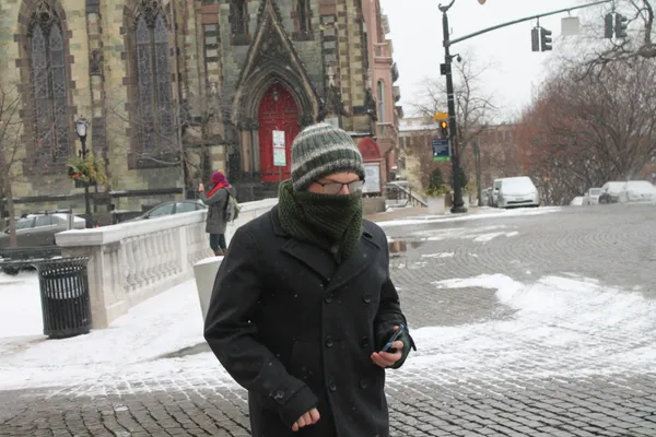
Baltimore residents are waking up to a deceptive sense of calm this Sunday, February 22, 2026. While the morning hours remain quiet with overcast skies and a current temperature hovering around 36°F, a powerful nor’easter is fast approaching the Mid-Atlantic. Local officials and meteorologists have spent the last 24 hours preparing the city for what is expected to be a significant weather event that will deteriorate rapidly by sunset. Governor Wes Moore has already declared a State of Preparedness for Maryland, and Mayor Brandon Scott has activated the city’s Emergency Operations Center to coordinate the response.
The Forecast Timeline
The weather today will be a story of two halves, with conditions shifting from chilly and damp to dangerous as the storm system moves in from the coast. Here is the breakdown of what to expect:
- Morning: Expect cloudy skies with temperatures reaching a daytime high of approximately 39°F. While a stray flurry or light rain shower is possible, no major accumulation is expected before noon.
- Afternoon: Conditions will begin to turn. Between 1:00 p.m. and 3:00 p.m., a rain-snow mix is likely to develop. The National Weather Service has issued a Winter Storm Warning that officially goes into effect at 3:00 p.m. as the precipitation transitions fully to snow.
- Evening and Night: This is when the brunt of the storm will hit. Heavy snow is expected to fall through the late evening, accompanied by plunging temperatures reaching a low of 30°F. Visibility will drop significantly as the storm intensifies.
Official Alerts and Accumulation
The Winter Storm Warning remains in effect from 3:00 p.m. today through 10:00 a.m. Monday morning. Baltimore City is currently forecasted to receive between 1 to 3 inches of snow, though areas directly north and west of the Baltimore Beltway could see significantly higher totals, ranging from 5 to 7 inches. In addition to the snowfall, wind gusts are a major concern. Experts predict gusts reaching between 40 and 45 mph, which could lead to power outages and downed tree branches.
Safety and Preparedness
Due to the extreme cold and incoming precipitation, a Code Purple winter shelter activation is scheduled to begin at 4:00 p.m. today. Residents are urged to complete all travel before the evening commute, as the combination of heavy, wet snow and high winds will make driving treacherous. City officials recommend that residents check their emergency kits, ensure they have sufficient food and water, and stay off the roads once the snow begins to accumulate to allow plows and emergency vehicles to operate safely.